
Wichita Falls Postal Coverage
Postal coverage in Wichita Falls is organized around delivery geography. USPS routing information groups several local ZIP areas under the 76301 or 76302 routing areas, while a USPS city name may also reach rural, neighboring-county, or base addresses. The table identifies the documented postal labels and preserves the unresolved entries rather than treating a station address as proof of residential coverage.
| ZIP | Areas covered | Post office | Notes |
|---|---|---|---|
| 76301 | Central and northern Wichita Falls mailing area. | Wichita Falls Main Office and Morningside. | Standard delivery; routed through 76301. Confirm city-limit status by address. |
| 76302 | East and southeast Wichita Falls mailing area. | Wichita Falls 76302 routing group. | Standard delivery; 76308 and 76310 group here. |
| 76305 | Wichita Falls label with rural or outer-area and nearby accepted names. | 76301 routing group. | Portions are associated with Clay County; it is not a city-boundary match. |
| 76306 | North and airport-side Wichita Falls area. | 76301 routing group. | Standard delivery. |
| 76307 | Wichita Falls post-office and box use. | Main Office or postal services; 76301 routing group. | Public ZIP lists classify it as PO Box use. Do not infer a property situs from a box. |
| 76308 | Southwest Wichita Falls and Lakeside City mailing area. | 76302 routing group; Bridge Creek. | Lakeside City can appear as an accepted or alias place. Verify the full address. |
| 76309 | Established Wichita Falls mailing area. | 76301 routing group. | Standard delivery. |
| 76310 | Southwest Wichita Falls and Archer County-side mailing area. | 76302 routing group. | Mailing city does not establish a municipal location. |
| 76311 | Sheppard Air Force Base. | Sheppard AFB Post Office. | Military-base standard ZIP with a distinct preferred label. |
| 76303 / 76304 | Not treated as ordinary residential Wichita Falls ZIPs in the reviewed DMM grouping. | North Postal Station is physically in Wichita Falls at 76304. | Current USPS treatment as unique, agency, or military ZIPs still needs verification. |
The USPS Wichita Falls Main Office listing is the source captured for this postal-coverage record.
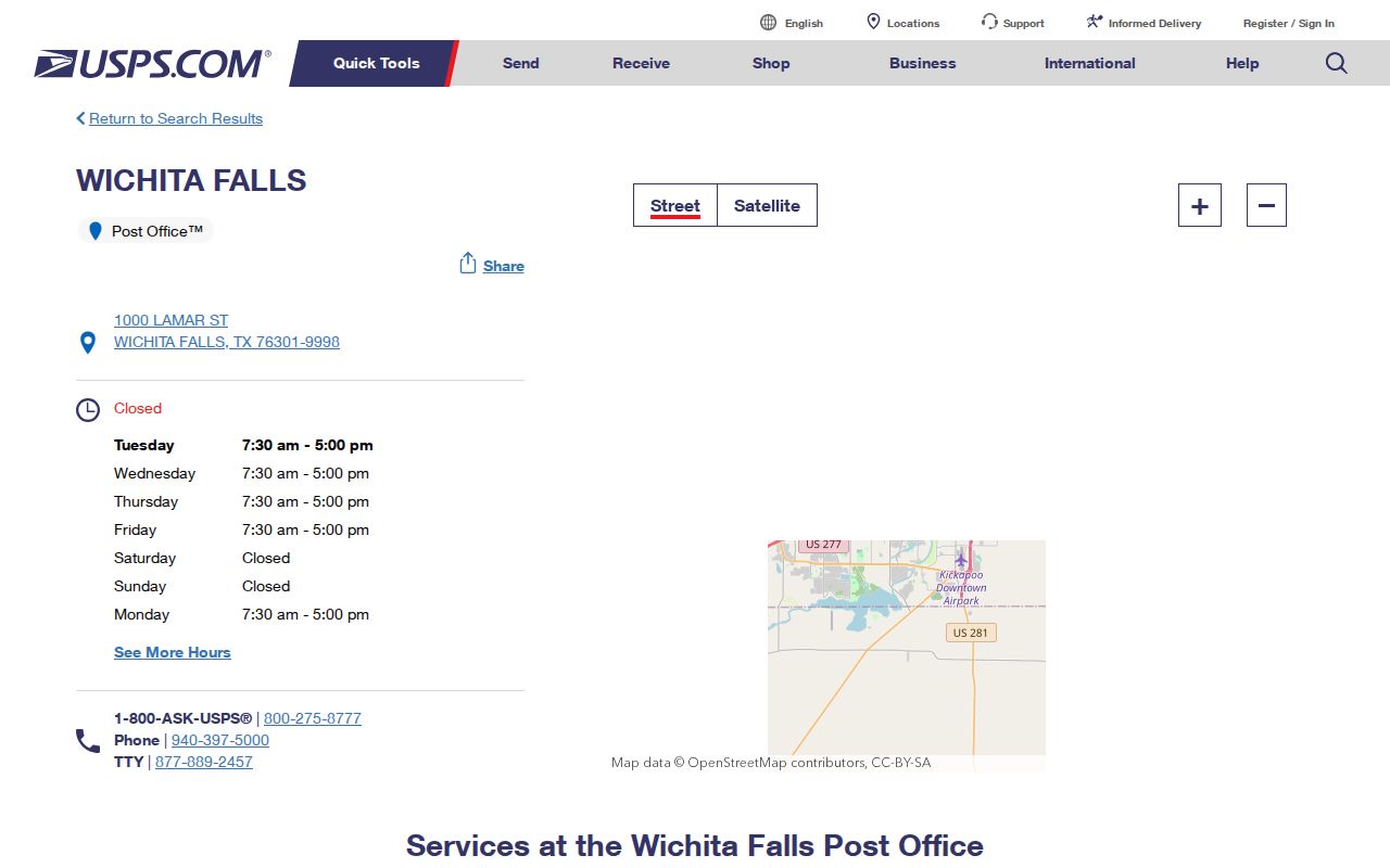
Postal locations are useful verification points, but they do not draw municipal boundaries or create a resident roll.
Wichita Falls Delivery Routing
USPS DMM L012 routing information creates two useful local groupings. The 76301 group includes 76301, 76305, 76306, 76307, and 76309. The 76302 group includes 76302, 76308, and 76310. This is a routing relationship, not a statement that each ZIP lies entirely within Wichita Falls.
| 76301 routing group | 76301, 76305, 76306, 76307, and 76309. |
|---|---|
| 76302 routing group | 76302, 76308, and 76310. |
| Sheppard AFB | 76311 has a separate preferred label and is grouped with Archer City in the wider DMM scheme. |
For a Wichita Falls postal search, that distinction prevents a routing shortcut from being mistaken for a city-limit test. A full street address remains the unit that USPS validates.
Note: A ZIP can narrow delivery geography, but the county, city, and parcel systems may draw a different boundary.
Wichita Falls Sheppard Postal Area
ZIP 76311 uses Sheppard AFB as its preferred city or label and is served by the Sheppard AFB Post Office at 527 I Avenue. It is a military-base standard ZIP, not an ordinary Wichita Falls parcel-search shortcut. Base telephone directories, newspapers, and federal records may supply historical context, while residential details are not automatically part of ordinary city rolls.
The base example shows why a postal label should not become a claim about a person or city jurisdiction. Use USPS to check the mailing address, then use the appropriate county, city, or federal custodian for the specific record.
Wichita Falls ZIP Search
For a property-focused ZIP search, use delivery, parcel, and jurisdiction information in sequence. WCAD accepts a ZIP field in its advanced property form. VoteTexas uses ZIP as one input to help disambiguate a named voter, not as an open ZIP-wide resident browser. The Secretary of State voter-file request instead offers county, district, and precinct geography under its own affidavit process.
- Check the complete mailing address in the USPS ZIP Code Lookup and save the returned ZIP or ZIP+4 for the research notes.
- Search the ZIP in WCAD Advanced Search to find parcel records carrying that tax-roll ZIP field.
- Compare the parcel situs and legal description with the city or county jurisdiction. A Wichita Falls postal label may fall outside the city line.
- When checking a named registered voter, use the official name, county, date-of-birth, and ZIP workflow or contact the Wichita County registrar.
The USPS address lookup is shown in the captured USPS image.
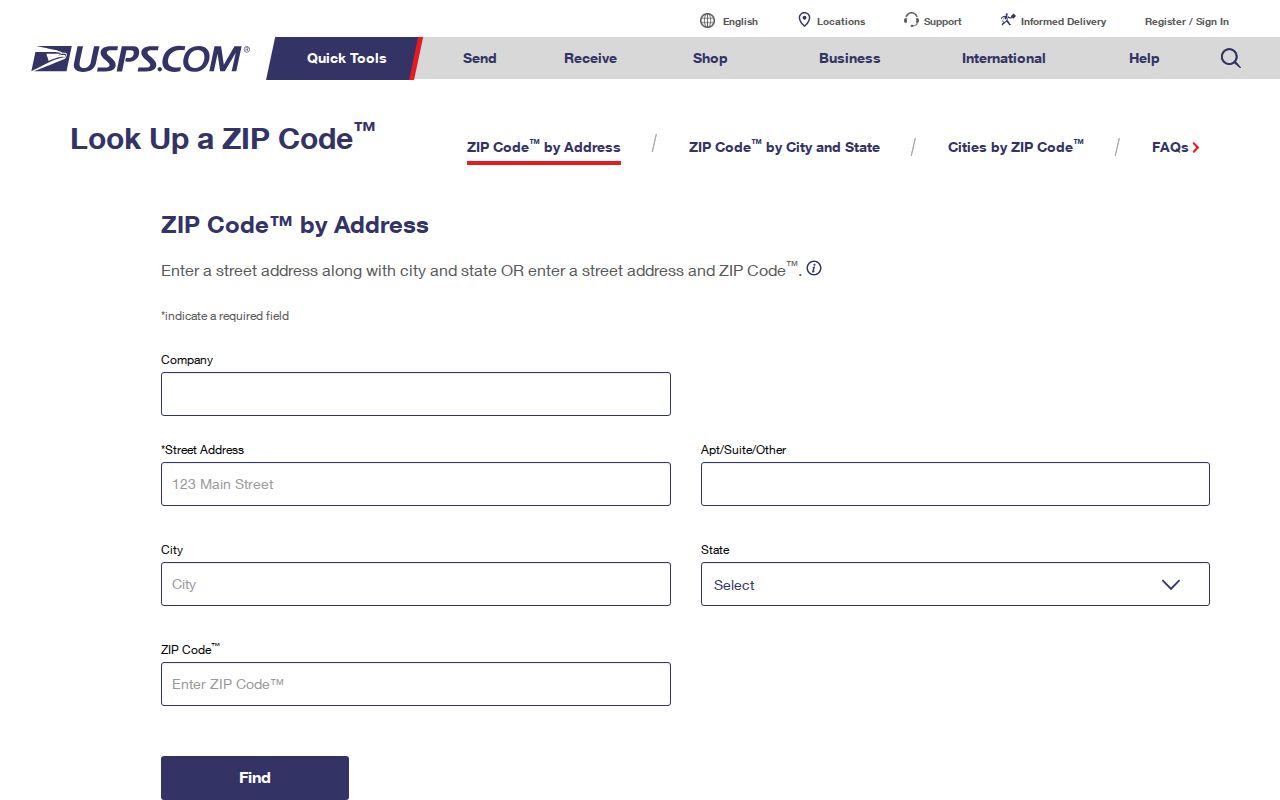
Once a ZIP has narrowed the property field, use the Wichita Falls street directory for the address-level record chain rather than attempting to build a street list from postal data.
Wichita Falls Postal Search Fields
WCAD’s advanced form makes ZIP a useful filter, not a complete answer. Combine it with a street number, street name, neighborhood, property type, tax year, or legal description when the property question needs more precision. The static inspection did not expose result counts, export limits, or the choices inside every select field.
| WCAD search field | Type | ZIP-related use |
|---|---|---|
| ZIP | Text | Filters parcels carrying the tax-database ZIP. |
| Street number low/high | Range | Narrows a ZIP result to a street segment. |
| Street name | Text | Pairs a delivery area with a particular street. |
| City | Text | Separates the city label from the ZIP area where the fields differ. |
| Neighborhood | Text | Filters a local subdivision or neighborhood label. |
| Property type | Radio | Offers real property, manufactured home, natural resource, and personal property. |
| Status or tax year | Select | Compares tax context; options were not statically exposed. |
| Legal description | Text groups | Uses subdivision, block, tract, lot, or abstract details when ZIP is too broad. |
City GIS displays parcels and planning layers, but its public description does not state that it has a ZIP filter. Its value is geographic checking after WCAD returns a parcel.
Wichita Falls Postal Jurisdictions
A ZIP filter and a government jurisdiction should be recorded separately. City departments manage municipal planning, GIS, permits, code work, and annexation. WCAD and the County Clerk serve the full Wichita County area, including addresses that use a Wichita Falls mailing label outside the city boundary. That overlap explains why a matching city name in a parcel result is useful but not conclusive.
For an address near a boundary, compare the WCAD legal description with a parcel on the Wichita Falls Development Interactive Map. Plats show lot and block information, adjacent tracts, easements, and an in-or-out city-limit line. Annexation notices also use surveys and metes-and-bounds descriptions. Those records are better jurisdiction evidence than a generic ZIP map.
The same care applies to neighborhoods. Floral Heights, Highland Addition, and Southland Addition are part of the Central Wichita Falls Revitalization Area around Old High, but a neighborhood name is still a geographic lead. Confirm its lot, block, parcel, and city-limit status before relying on it in a postal search.
Wichita Falls Postal Terms
Postal terms serve different functions in a Wichita Falls ZIP search. The definitions below keep a delivery result from being confused with a parcel identifier or a city boundary.
- ZIP Code
- A five-digit USPS delivery area code used with a mailing address.
- ZIP+4
- An added four digits that further sort mail within the five-digit ZIP area.
- PO Box ZIP
- A ZIP used for post-office boxes, which does not establish a physical property location.
- Unique ZIP
- A ZIP assigned to a single organization or high-volume addressee. The current role of 76303 and 76304 needs USPS confirmation.
- Carrier route
- A mail-delivery sequence used for routing, not a municipal district or resident roster.
These distinctions matter most for 76307, which is classified in public ZIP directories as PO Box use, and for 76303 and 76304, where the available research does not confirm current resident-directory coverage.
Wichita Falls Delivery Limits
ZIP boundaries do not match Wichita Falls city limits. County and city records overlap because WCAD and the County Clerk serve the wider county, while city departments handle municipal planning, permitting, code, and annexation. A property can have a Wichita Falls mailing label while being rural, unincorporated, in a neighboring county, or outside the municipal line.
The clearest documented examples are 76305, which has Clay County associations; 76308, which can carry the Lakeside City alias; and 76310, which has Archer County associations. The City Development guide also requires plats to label city-limit lines in or out. When jurisdiction matters, consult the parcel, the legal description, and the relevant city or county office rather than the ZIP alone.
Boundary check. Save the USPS result, WCAD parcel result, and city or county jurisdiction separately. Each answers a different question about the same Wichita Falls address.
Wichita Falls Postal History
No official local source reviewed here documents a Wichita Falls ZIP split, realignment, or effective year. Preserve a historic rural-route or older city label exactly as printed in a directory, census, newspaper, or deed note. Use a current USPS lookup only to normalize a modern mailing address, not to overwrite the historical label.
Street and address continuity can also be affected by plats and annexation. The city found no verified citywide renumbering year in the research material, so an older number should be bridged through plat names, Sanborn maps, directory cross-references, and planning records. The absence of a published ZIP history is a research limit worth retaining.
Note: A present-day postal result can verify delivery, but it cannot establish the historic ZIP or city jurisdiction of an earlier record.
Wichita Falls Delivery Results
A ZIP-filtered WCAD result can locate property records. It does not identify all residents in a delivery area, establish who lives at a parcel, or replace a record from the correct custodian. Ownership, mailing address, situs, voter status, and a historic directory listing are separate kinds of evidence with separate dates and privacy limits.
Use ZIP data for lawful family-history, property, civic, or address-verification research. Do not use a postal or property result to expose a protected address, make a broad household list, or harass another person.