
Wichita Falls Previous Residents by Era
One address has several overlapping timelines. Recorded deeds track legal transfers, directories and telephone books track listed occupants or subscribers, and Sanborn maps track the building. Start with the era that fits the question. A recent parcel may be quickest through the appraisal district, while an older legal description can require the clerk’s index or a microfilm reel. The table keeps those sources separate so a mailing address, an ownership transfer, and a household listing are not mistaken for the same kind of evidence.
| Source | Years It Covers | Where Held | What It Shows |
|---|---|---|---|
| Recorded deed books and indexes | From 1873; online cutoff not located | County Clerk EagleWeb, courthouse, MSU/TSL reels | Legal transfers, grantor/grantee names, and legal descriptions; Volume 38 is absent |
| County tax rolls | 1868–1910 microfilm | MSU/TSL; current WCAD tax-year search | Taxpayer and property evidence, not necessarily a resident |
| Worley directories | 1907–1935 cataloged with gaps; listed editions through 1957 | WFPL/Prothro, UT Briscoe, library databases | Address, occupant, or business evidence at publication time |
| Telephone books | 1909–2005, with detailed gaps | UT Briscoe and WFPL | Subscriber name, address, and phone, with incomplete household coverage |
| Federal census | Public through 1950 | Library databases and archival census access | Household composition and geography, which may differ from city lines |
| Sanborn maps | 1885, 1894, 1898, 1904, 1907, 1910, 1915, 1919, 1925 | MSU, UT/LOC, and library database access | Building footprint, materials, use, street labels, and numbering |
| Permits and code cases | Historical start and cutoff not located | City Building Inspections, Code Compliance, or PIA | Alteration, demolition, or work-date evidence, not necessarily ownership |
The Texas State Library Wichita County microfilm guide is shown below.
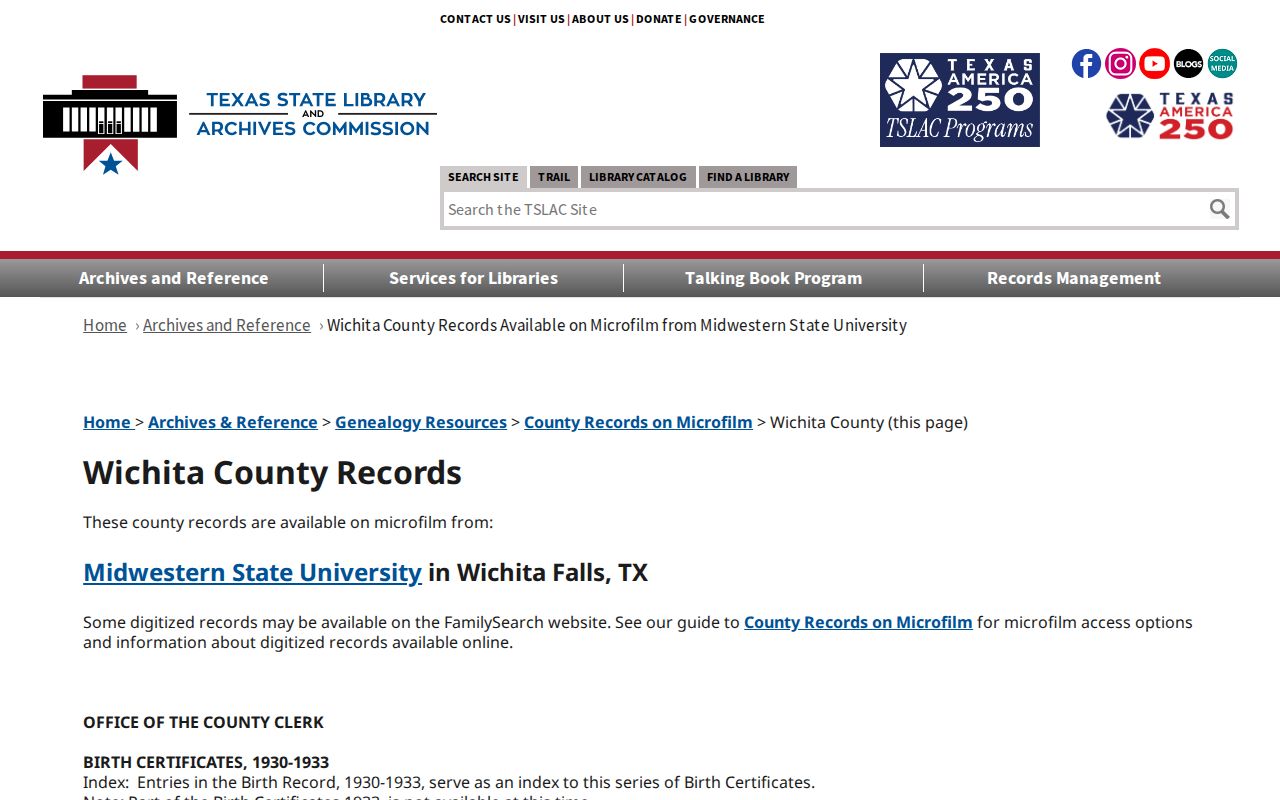
The guide supplies exact older reel ranges and gaps, which is more useful than treating an empty online search as proof that a record does not exist.
Anchor a Wichita Falls Address
Use the Wichita County Appraisal District advanced search to anchor the current parcel. Its documented fields include owner or business name, street number range, street name, city, ZIP, neighborhood, property ID, CAD ID, legal description, block, tract or lot, acreage range, tax year, and property type. Copy the exact owner spelling, situs address, parcel or account number, and legal description. Keep the subdivision, block, tract, or lot because those identifiers survive changes in how a street address is written.
Three fields answer different questions. The situs address is where the parcel lies. The owner mailing address is a tax-correspondence address and may be elsewhere. The legal description identifies the parcel through a subdivision lot and block or metes-and-bounds language. A homestead notation, if it appears on a live parcel card, is consistent with owner occupancy but does not prove it. Before moving into older records, compare the legal description in each result. A street number can change or be written inconsistently, while the lot, block, or tract gives the chain a stable test.
Wichita Falls Previous Residents Deed Chain
The Wichita County EagleWeb Official Public Records portal is the current online starting point for the deed trail. Its landing page requires a disclaimer acknowledgment and cookies, but the public landing page did not expose the dynamic search fields or an online cutoff. Search the current owner as a grantee around the likely acquisition period if the live screen offers useful date or document filters. Record the index entry as well as any image: names, recording date, document or instrument number, book and page, legal description, consideration if displayed, and prior-instrument references.
- Copy the owner and legal description from WCAD, then preserve the parcel page in the research log.
- Locate the current owner’s purchase deed as grantee and compare the legal description with the parcel.
- Use that deed’s seller, the grantor, as the next earlier grantee search target.
- Repeat the seller-as-grantee search for the same legal description until reaching a plat, the first lot transfer, or the microfilm boundary.
- When the chain reaches a company, search the entity name and recorded instruments without assuming its mailing location identifies a resident.
- Grantor
- The person or entity transferring an interest in a recorded instrument.
- Grantee
- The person or entity receiving that interest; a prior grantee search moves the chain backward.
- Chain of title
- The sequence of recorded transfers connected by names and the same legal property description.
- Legal description
- The lot, block, tract, subdivision, or metes-and-bounds identity that is more durable than a street number.
The EagleWeb landing page is shown below.
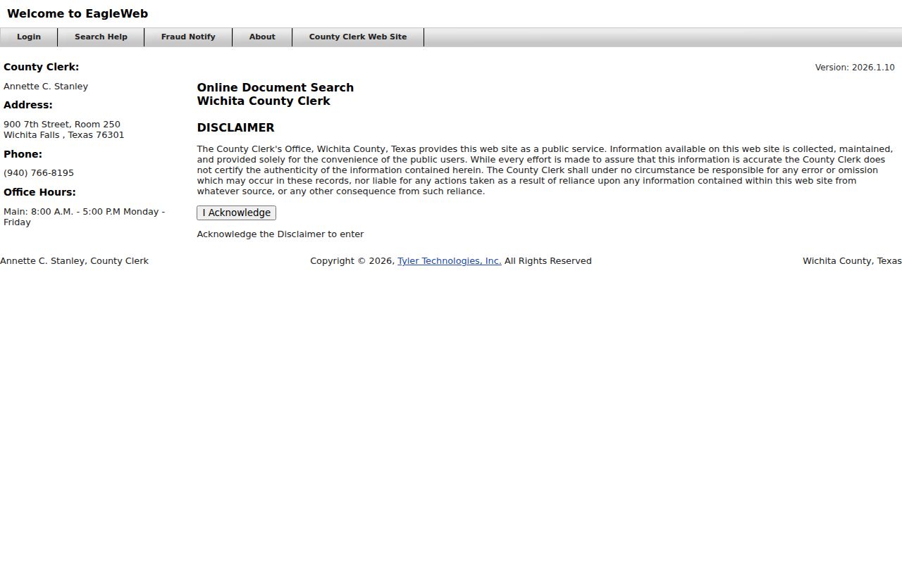
The screenshot confirms the official portal and acknowledgment step, but it does not supply a public search-field list or a date cutoff.
Wichita Falls Deed Records Gaps
Older Wichita County records need a direct and reverse index check. A direct index groups grantors, while a reverse index groups grantees. The Texas State Library guide identifies Wichita County deed coverage from 1873 to 1917, including direct-index reels 1420564 and 1420565 and reverse-index reels 1420565 and 1420566. The deed books are not seamless: Volume 38 is absent, and Volume 35 contains tax deeds. Put those exceptions in the chain-of-title log rather than silently skipping them.
This local quirk changes the best fallback. Ask the County Clerk or Midwestern State University’s regional historical repository for the relevant reel or book, then check both party directions and the legal description. Note: A deed transfer proves a recorded property event, not where a party lived afterward.
Wichita Falls Previous Residents Offline
The online portal is convenient for a recent clue, but microfilm makes the older record structure and missing volumes visible. The Wichita County Clerk holds official public records, and courthouse terminals are a practical next step when a live portal does not return the needed index. Midwestern State University’s Moffett Library is the regional historical resource depository for Wichita County. A focused request should name the record type, date range, party spelling, legal description, and desired copy or index check.
| Online EagleWeb | Current convenience route; landing page requires acknowledgment, while dynamic fields and coverage cutoff were not exposed in the reviewed static page. |
|---|---|
| Courthouse or clerk | Counter and terminal route for official indexes, copies, and confirmation of a record series. |
| MSU or Texas State Library microfilm | Older direct/reverse deed reels and books with documented coverage notes and gaps. |
Wichita Falls Previous Residents in Directories
Ownership is only one part of an address history. Worley volumes, telephone books, and other historical city directories can show listed occupants, subscribers, work references, or a household name at the publication date. They do not establish ownership and may omit people. Start with the street or reverse section when the address is known, then compare the alphabetical entry for the printed name form and abbreviations. The historical collections themselves are described on the Wichita Falls city directory page.
The Briscoe Center directory-page collection is shown below.
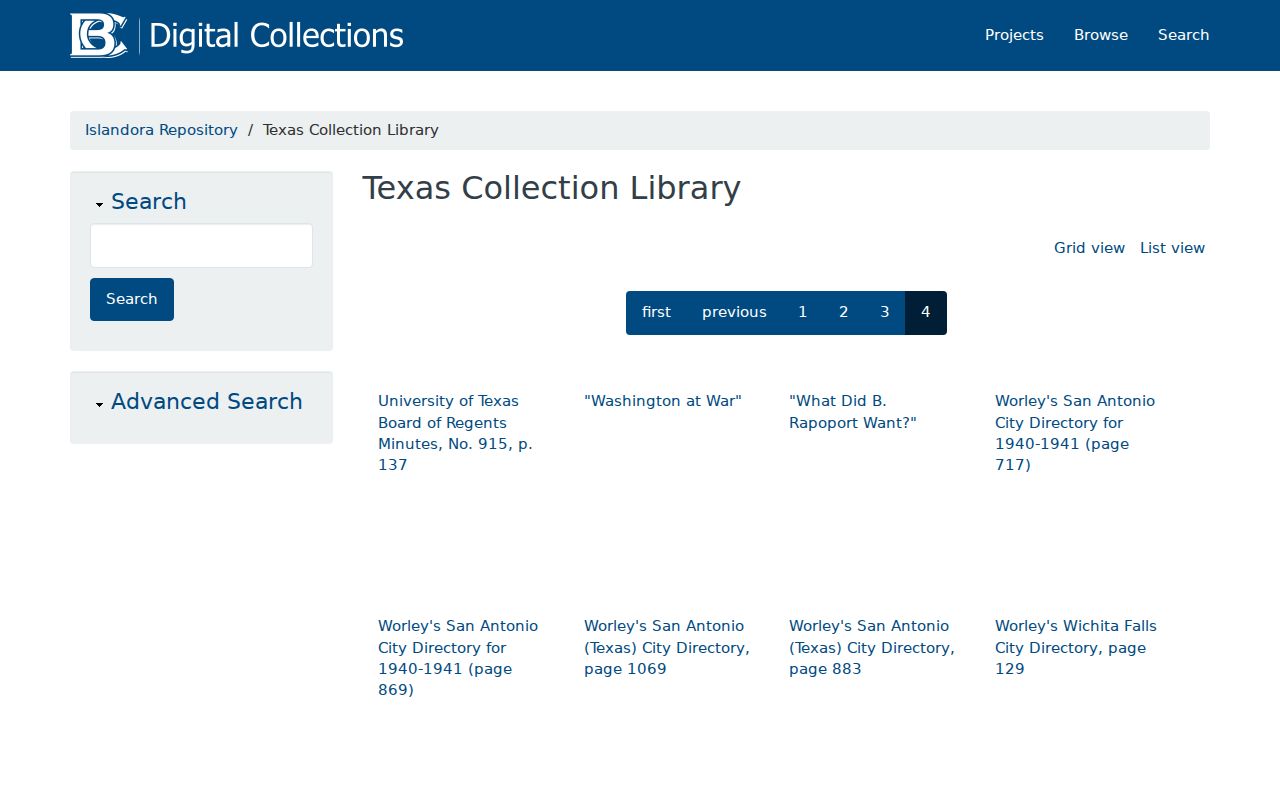
Match the year, page, name form, street number, and any abbreviation key before carrying an occupant into the house-history timeline.
Address flow: exact address and legal description → street or reverse directory section → alphabetical entry → next available directory year → census, deed, obituary, or probate check.
Wichita Falls Census and Directory Pairing
Pair the nearest available directory years with the 1910, 1920, 1930, 1940, and 1950 census images. Compare household composition, age, birthplace, and occupation, but do not assume collection dates match. The 1950 census opened in 2022; 1960 was not public as of the research date. A directory can list a boarder or subscriber whom a parcel record misses, while a census may describe a household that a directory omitted.
For a final family endpoint, WFPL’s obituary and article request form asks for a deceased person or article, event date and place, spouse, burial place, and supporting details. A specific name and date range give the library a usable request. Log a negative search too. The Wichita Falls Daily Times coverage from 1911 to 1923 and the later library digital runs have real gaps, so an absent obituary or notice cannot settle a move, death, or family relationship. Pair it with probate, cemetery, or recorded transfer evidence.
Wichita Falls Address Records Snapshots
Sanborn maps anchor the building rather than the people. The verified Wichita Falls years are 1885, 1894, 1898, 1904, 1907, 1910, 1915, 1919, and 1925. Read the map sheet, street and block, house number, footprint, construction material, height, use, outbuildings, and nearby landmarks. The WFPL database page identifies Sanborn Maps for Texas through the library environment. A map can show a structure at that moment; it cannot identify its occupants by itself.
Do not invent a Wichita Falls street-renumbering date. No official source located a specific citywide renumbering or renaming event. Bridge an old name or number with directory street sheets, Sanborn labels, recorded plats, the city archive, and Planning records. Annexation can also move an address between city and county record systems.
Wichita Falls Previous Residents: Endpoints
Wichita Falls Building Inspections can help date a construction change, demolition, or alteration, but the reviewed pages did not reveal a public historic address-search tool. Request a specified permit file by address, date range, permit number, or known owner or contractor. For municipal material outside a posted database, the city public-information process accepts an online request, email, mail, or hand delivery and asks for useful identifiers.
Obituaries, cemetery indexes, and probate files can close a family-history trail after a household disappears from an address. Use them to test a death, heirs, or a move, not to publish or infer a current location for someone else.
Lawful use. Wichita Falls address history is suited to house history, family history, and personal curiosity. Texas harassment and stalking laws prohibit using record details to threaten, monitor, or harm another person.