
Wichita Falls Neighbor Records
Public records describe parcels and community programs more reliably than they describe households. Start with the anchor property, then keep land ownership, mailing information, past occupants, and civic participation in separate notes. A parcel owner can receive mail somewhere else, and a subscriber or voter record does not turn a block into a complete household roster. The source rows distinguish Wichita Falls paths that can add context without making that leap.
| Source | What It Shows About a Block | Access |
|---|---|---|
| WCAD Map and Advanced Search | Parcel boundaries, account IDs, owner and property data, plus street-range and ZIP filters | Public map and search; dynamic result-card fields need live review. |
| City Development Map | Parcels, zoning, floodplain, easements, utilities, historic districts, and planning layers | Public map; Public Works interprets utility and easement questions. |
| Recorded plats | Lot and block lines, alleys, easements, subdivisions, and replats | County Clerk, EagleWeb, courthouse, or MSU materials. |
| Voter self-lookup | Status and jurisdiction for one named registered voter | No open block browsing; protected addresses are suppressed. |
| Historic directories and telephone books | Past occupants or subscribers by address and street | WFPL, UT Briscoe, and library databases in scattered years. |
For Wichita Falls neighbors, an owner name is one parcel fact. It is not proof of occupancy, and it says nothing conclusive about boarders, family members, or other people at the property.
Choose a Wichita Falls Neighbor Parcel
Enter the address in WCAD and save the parcel ID, situs, legal description, and record date. The situs is where the parcel lies. The owner mailing address is for tax correspondence and may be in another city. The legal description, such as subdivision, block, tract, lot, or metes-and-bounds language, is the more durable key when a street number has changed or a map parcel needs to be matched to a deed or plat.
The WCAD parcel map is the appropriate starting view for the anchor property.
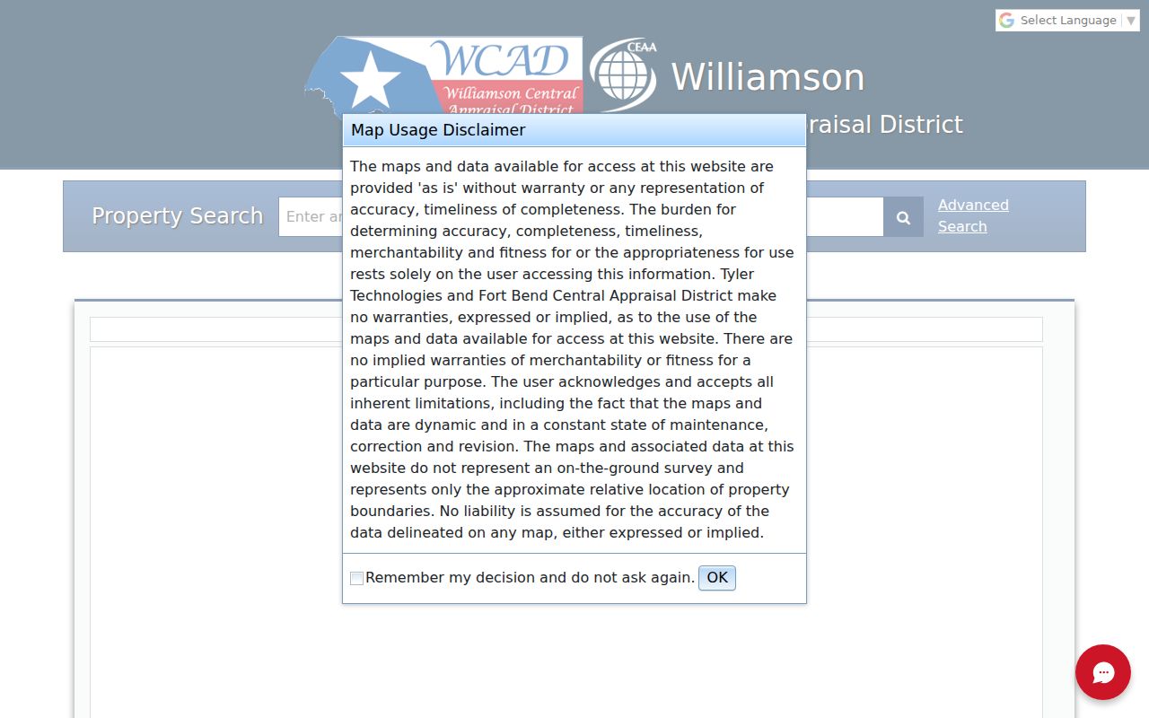
The map can place the anchor parcel among nearby parcels. Check each parcel’s own record instead of assuming that a nearby polygon represents a separate household.
Note: An anchor parcel is a geographic starting point, not evidence of every person connected with that address.
Map Wichita Falls Neighboring Parcels
Use a parcel-by-parcel flow for the immediate block. The recorded plat is the check against a map assumption, especially near alleys, common areas, easements, or an unplatted tract.
- Find the anchor address in WCAD Map and note its parcel ID and legal description.
- Select or inspect parcels that touch it, recording parcel IDs and legal descriptions before names.
- Compare each parcel result for owner and mailing information, while keeping mailing and situs addresses separate.
- Use a recorded plat or EagleWeb document to test whether the polygon is a lot, alley, common area, or replat.
- Use city layers for land context, then stop when the question shifts from the immediate block to an entire street.
Exact click-adjacent, buffer, identify, select, and measurement control names were not verified from the public map capture. A formal radius or buffer tool should not be claimed without a live review. For a longer street chain, use the Wichita Falls streets reference rather than expanding a neighbor search into a full street inventory.
Wichita Falls Neighbor Block Layers
The City Development Interactive Map adds context that a tax roll cannot. Its public description lists parcel data, zoning, floodplain, easements, public water and sewer mains, historic districts and sites, thoroughfare planning, TIF districts, 4B sales-tax grant boundaries, and hike and bike trails. These layers can explain why a parcel is shaped or regulated differently from the next one, but they do not identify every neighbor or show private membership information.
The City Development Interactive Map page describes the available GIS layer set.
Use the map’s public layers to understand the block’s physical and planning context. Public Works, at 940-761-7477, is the city contact for interpreting public utility access and easements.
Wichita Falls Neighbor Plats
A plat can resolve questions a street address cannot. WCAD supports property and legal-description fields, while recorded plats connect a street location to subdivision, block, lot, replat, alley, and easement information. After locating the current legal description, search EagleWeb for the relevant recorded document and compare both direct and reverse deed indexes when history matters. Older Wichita County deed books and indexes from 1873 to 1917 are available on microfilm when an online path does not reach far enough.
Keep the three local keys distinct: situs address, owner mailing address, and legal description. A map line may be a boundary, easement, or shared space. It should not be described as another residence until the plat and parcel record support that conclusion.
Note: The research did not verify a citywide Wichita Falls renumbering year, so preserve old and current address variants when checking historic records.
Wichita Falls Neighbor Voter Limits
Texas voter access does not create a browseable block directory. My Voter Portal confirms one person’s status using a VUID, a registration-linked driver-license or ID number, or a name workflow with county, date of birth, and ZIP. A formal voter-file request can use geography such as county, precinct, or district, but it requires the Secretary of State form, notarized affidavit, $75 deposit, payment, and statutory use restrictions. Ballot choices are never revealed.
| Official record path | Commercial neighbor-tool category |
|---|---|
| Shows a defined record with a named custodian, date, and access limit. | Can combine parcel, directory, marketing, and other public-data feeds. |
| Lets a researcher check parcel ownership, a plat, or a single voter status on its own terms. | May conflate people, lag sales, or list household members incorrectly. |
| Supports a correction or confidentiality question to the responsible office. | Still needs verification against the custodian record before it is treated as reliable. |
Protected voter addresses can be suppressed, and not every person on a block is registered to vote. Those limits make an official voter record useful for a narrow status question, not for naming Wichita Falls neighbors.
Note: The voter-file request terms control the file’s use and do not convert it into a household roster.
Wichita Falls Neighbor Contacts
City program pages and civic contacts can provide neighborhood context without offering a private roster. The verified organizations in the table are contacts, meeting, or participation sources. None should be treated as a directory of all people who live in a neighborhood.
| Organization or program | Local role | Public contact or status |
|---|---|---|
| City Neighborhood Resources Division | City neighborhood service and program contact | 1800 7th Street, 940-761-7448; no resident or member directory located. |
| Central Wichita Falls Revitalization Area | Floral Heights, Highland Addition, and Southland Addition around Old High | Public initiative and meeting information, not a private roster. |
| Heart of the Falls committee | Neighborhood revitalization committee | Monthly meetings and public agendas; participation details come through the city. |
| Heart of the Falls NEZ | Designated 2025 Neighborhood Empowerment Zone | Ordinance and application records; not a membership organization. |
| Wichita Falls Area COAD | Disaster-response coordination among more than 50 voluntary organizations | Registration route; organization participation is not a household list. |
The City Neighborhood Resources page is the official starting contact for area maps and neighborhood-program questions.
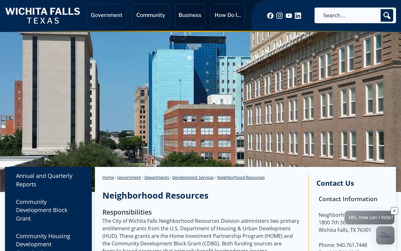
Use a public contact to ask about area maps, programs, or meeting records, not to request personal details about Wichita Falls neighbors.
No Wichita Falls HOA Roster
No authoritative city or umbrella directory of private HOA or neighborhood-association members was located in the research. It would be inaccurate to name an association for a subdivision, or to claim that a private roster is public, without direct confirmation. City Neighborhood Resources and Planning are the verified contacts for neighborhood-area maps and civic-program questions.
City Boards and Commissions is different: its portal exposes current membership of public civic bodies, and applications are kept for two years. That is a record of public service, not evidence that a person lives near a particular address.
Note: A public board listing identifies civic service, not a home address or a block relationship.
Wichita Falls Block Geography
City and county records overlap around Wichita Falls. City departments handle planning, GIS, permits, code, and annexation, while WCAD and the County Clerk cover the wider county, including places with a Wichita Falls mailing label outside the city line. A city limit can therefore change which office has the next record even when the street name stays familiar.
City plats must show lot and block information, adjacent subdivisions, unplatted owners, easements, and dimensions. The city also uses continuation-name rules for aligned street extensions and labels city limits as in or out. Those local rules make the legal description and plat more useful than a casual map-radius assumption when checking a changing block.
When an annexation question is involved, city notices use surveys and metes-and-bounds descriptions and go to the appraisal district, county, schools, railroads, and emergency-service stakeholders. Preserve the jurisdiction and effective record date with the parcel notes.
Lawful Wichita Falls Neighbor Search
Renters, boarders, and many other household members may not appear in property records. Utility customers, delivery data, and motor-vehicle addresses are not public resident files. Texas protections can also suppress an address for qualifying voters and Address Confidentiality Program participants. A business mailing address is not proof that someone lives there.
When a parcel record appears wrong, bring the correction question to the custodian and retain the source date, parcel ID, and record details. Do not republish an address that an official program intentionally withholds. A public index is not permission to bypass a confidentiality rule.
Lawful use. Use Wichita Falls neighbor records for personal, civic, or property-curiosity research. Using address or record details to watch, threaten, harass, or intimidate another person can violate Texas law.